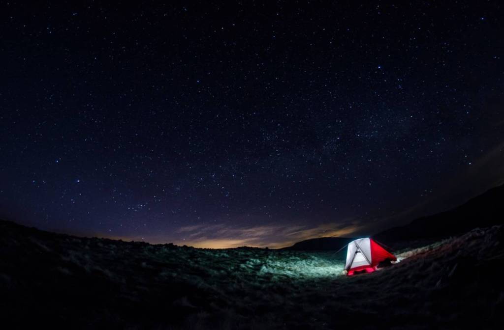

As the darker months approach, night hikes will become more common. After all, it will get dark at 3:30pm soon… Well, the best nighttime hikes in the UK have been announced, and the top spot is just two hours from Glasgow at a Dark Sky Park.
Looking at AllTrails user ratings, trail difficulty, elevation gain and sky darkness, outdoor experts at Blacks revealed the best nighttime hikes in the UK.
Galloway Forest Park’s Water of Trool Trail was named the best nighttime hike in the UK. Below clear, dark skies, this route pairs brilliant stargazing with atmospheric landmarks like Spout Head Waterfall and peaceful riverside trails. It makes for an incredible evening trek, provided you come prepared with appropriate headlamps and navigation tools.
In second place, Cairngorms’ Loch Morlich offers exceptional night hiking framed by dark skies and a dramatic mountain backdrop. Hailed by visitors for being “beautiful and easily accessible by car,” its quiet forest paths lead to tranquil water views where stars reflect off the loch. On high-solar-activity nights, hikers may even catch a glimpse of the Aurora Borealis.
And taking the third spot on the best nighttime hikes list, Keswick’s Friar’s Crag in the Lake District offers a brief, accessible route with impressive dark-sky views over Derwentwater.
Natalie Wolfenden, Author and hiking enthusiast at Blacks, comments: “Even for experienced hikers, careful packing is essential for a nighttime hike. Once the sun sets, temperatures can drop rapidly, and exposure to cold, bitter conditions becomes a significant risk. Ensure you carry adequate insulating layers and other cold-weather essentials to remain safe and comfortable throughout the hike.
“Hikers must adapt their layers to suit the expected conditions and monitor the forecast for any developing weather. Even on familiar routes, carry waterproofs in case of rain, wear footwear appropriate to the terrain, and ensure you have a reliable torch or headtorch with spare batteries. Fully charge your phone and bring a power bank as changing conditions and reduced visibility can quickly increase the risk of injury.
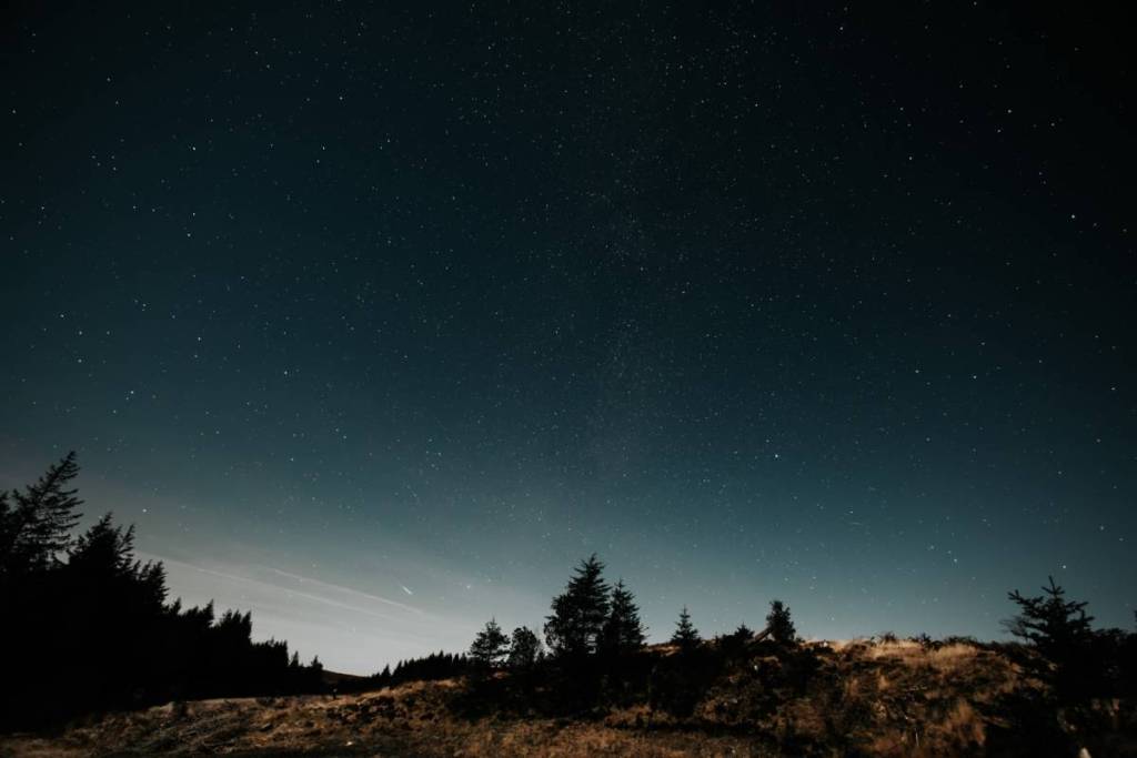
“As it is nighttime, it can be easy to stray from routes or lose your footing. Remain aware of wildlife and livestock, especially in rural areas. When walking in the dark, take extra care with every step, especially when on rough terrain, and keep a safe distance from exposed edges. Plan your route in advance, download an offline map or carry a paper map, and stay on marked trails to reduce the risk of getting lost. It is also a good idea to pack a compass or GPS device to assist with directions.
“Make sure to let someone know where you are going and when you expect to return, and check the weather forecast before setting out. No matter the distance you are hiking, it is important to pack food and drink, and keep a first aid kit or emergency whistle on hand. If hiking in a group, stay together and remain aware of uneven ground, wildlife, and other potential hazards.”
Best nighttime hikes in the UK
- Glentrool: Water of Trool Trail
- Location: Galloway Forest Park
- Difficulty: Moderate
- Review Score: 4.6
- Elevation Gain/km: 21.6 m
- Sky Darkness: 21.89 mag/arcsec²
- Overall Score: 9.07 / 10
2. Loch Morlich
- Location: Cairngorms
- Difficulty: Easy
- Review Score: 4.6
- Elevation Gain/km: 29.3 m
- Sky Darkness: 21.95 mag/arcsec²
- Overall Score: 8.77 / 10
3. Friar’s Crag
- Location: Keswick, Lake District
- Difficulty: Easy
- Review Score: 4.5
- Elevation Gain/km: 19.6 m
- Sky Darkness: 21.79 mag/arcsec²
- Overall Score: 8.71 / 10
4. Tomintoul and River Avon Circular
- Location: Cairngorms
- Difficulty: Moderate
- Review Score: 4.5
- Elevation Gain/km: 30.9 m
- Sky Darkness: 21.95 mag/arcsec²
- Overall Score: 8.61 / 10
5. An Lochan Uaine Circular
- Location: Cairngorms
- Difficulty: Moderate
- Review Score: 4.7
- Elevation Gain/km: 32.3 m
- Sky Darkness: 21.95 mag/arcsec²
- Overall Score: 8.58 / 10
6. Little Bruntis Trail
- Location: Galloway Forest Park
- Difficulty: Moderate
- Review Score: 4.6
- Elevation Gain/km: 28.7 m
- Sky Darkness: 21.87 mag/arcsec²
- Overall Score: 8.45 / 10
7. Loch Doon Castle and Craiglea
- Location: Ayrshire
- Difficulty: Moderate
- Review Score: 4.6
- Elevation Gain/km: 27.6 m
- Sky Darkness: 21.83 mag/arcsec²
- Overall Score: 8.34 / 10
8. Thornton-le-Dale and Ellerburn
- Location: North York Moors
- Difficulty: Easy
- Review Score: 4.6
- Elevation Gain/km: 14.9 m
- Sky Darkness: 21.59 mag/arcsec²
- Overall Score: 8.19 / 10
9. Usk Reservoir Circular
- Location: Bannau Brycheiniog
- Difficulty: Moderate
- Review Score: 4.5
- Elevation Gain/km: 28.5 m
- Sky Darkness: 21.80 mag/arcsec²
- Overall Score: 8.10 / 10
10. Kielder Circular
- Location: Kielder
- Difficulty: Moderate
- Review Score: 4.6
- Elevation Gain/km: 37.6 m
- Sky Darkness: 21.87 mag/arcsec²
- Overall Score: 7.78 / 10