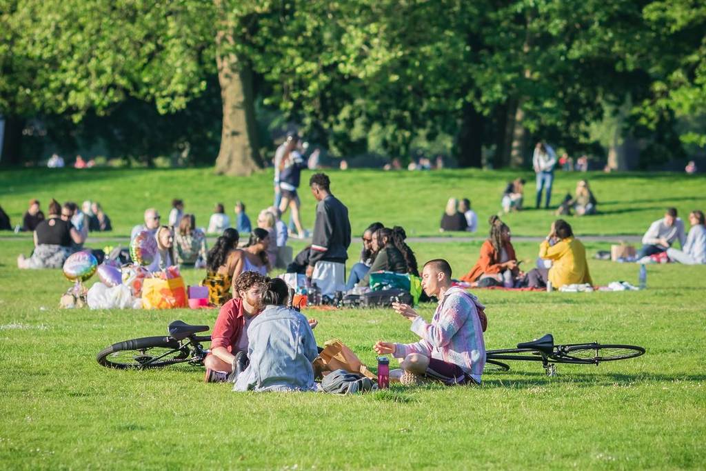

After a period of cooler weather and plenty of rain (I’m looking at you, July 1 during the Pitbull concert), things are finally looking up with a period of warmer, drier weather. The weather is changing starting from tomorrow, with Wednesday, July 8, seeing highs of 23 degrees and periods of sun.
According to the Met Office, Thursday, July 9, will warm up to 24 degrees, with sunny intervals and lows of 16, while Friday, July 10 is set to be the hottest day of the period with highs of 27 degrees and lows of 15 degrees. What is more, the weekend will also see rather pleasant weather, with Saturday, July 11, warming up to 25 degrees, and Sunday, July 12, seeing highs of 24 degrees, all with sunny intervals.
Plus, all of next week is also looking just as pleasant with similar temperatures, according to AccuWeather, so we’re in for a treat here in Glasgow!
In their outlook for the July heatwave in Glasgow between Thursday and Saturday, the Met Office said: “Dry with some sunshine on Thursday, although cloudier across Argyll. Dry with plenty of sunshine on Friday. Cloudy start Saturday, brighter later, especially in the west. Becoming very warm or hot.”
Long-range forecast for the UK

The long-range forecast between Sunday, July 11 and Monday, July 20 said: “Southern areas are likely to start this period hot, with heatwave conditions persisting. To the north, an Atlantic frontal zone will introduce somewhat cooler conditions, with the potential for scattered thunderstorms to develop just ahead of this. Into the following week, high pressure is likely to build to the north or northwest of the UK, though its exact orientation is rather more uncertain.
This would bring a lot of dry weather for many areas, though perhaps an increased chance, relatively to previous days, of showers or thunderstorms in the south. Temperatures probably moderating a little, though remaining above average for many areas.”
What is more, the forecast for the period of July 21 and August 4 is looking decent: “High pressure is more likely than low pressure for the rest of July, probably bringing settled and drier conditions. Occasionally this dry and warm weather could be interrupted by outbreaks of rain and stronger winds, which will be more probable in the north or west. As is typical for the time of year, there is a risk of heavy, thundery showers during any warm spells.
These conditions are likely to persist through to the start of August, with unsettled interruptions perhaps becoming more common, but confidence at this range is low. In any case, temperatures are likely to be above average overall, with a greater than normal chance of hot conditions developing at times, especially in the south.”